Description
Overview
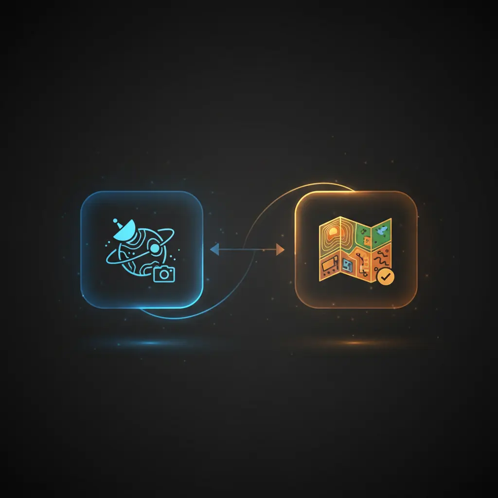
This KNN classifier workflow provides a robust automation workflow for classifying satellite imagery based on land types. Leveraging a no-code integration pipeline, it transforms an input image URL into an embedding vector and uses nearest neighbor search to determine the most probable land class, starting from an HTTP trigger event.
Designed for geospatial analysts and remote sensing applications, this orchestration pipeline resolves ambiguity in classification by iterative neighbor expansion and majority voting.
Key Benefits
- Automates land type classification using a k-nearest neighbors image-to-insight workflow.
- Incorporates iterative majority voting to resolve classification ties deterministically.
- Utilizes vector similarity search with Qdrant for scalable nearest neighbor retrieval.
- Integrates multimodal embeddings from an image URL, enabling flexible input formats.
Product Overview
This KNN classifier automation workflow begins with an HTTP POST trigger that receives a JSON payload containing the image URL of a satellite scene. The image URL is extracted and sent to the Voyage AI Multimodal Embeddings API, which returns a high-dimensional embedding vector representing the image features. This vector is then used to query a Qdrant vector database collection named “land-use” that stores pre-embedded and labeled satellite images of various land classes.
Each query returns the closest neighbors based on embedding similarity, along with their payload metadata, which includes labeled land type names. The workflow executes a Python-based majority voting step to determine the two most frequent classes among neighbors. If the top classes tie in count and the number of neighbors queried is below 100, the workflow increases the neighbor count by 5 and repeats the query. This loop continues until a clear majority is found or the maximum neighbor limit is reached. The final classification result is then returned synchronously to the calling workflow.
Error handling defaults to the platform’s standard retry and failure management protocols. Authentication is handled via HTTP header authorization for the embedding service and predefined credentials for Qdrant API access. No data persistence beyond transient processing is implemented.
Features and Outcomes
Core Automation
This image-to-insight automation workflow inputs an image URL, converts it into an embedding vector, and applies k-nearest neighbors logic to classify the land type. Majority voting on neighbor classes is performed using a Python script node, and tie conditions trigger an adaptive loop increasing neighbor count.
- Single-pass embedding conversion via HTTP request to Voyage AI API.
- Adaptive neighbor count adjustment for deterministic tie resolution.
- Majority class selection based on frequency counts in retrieved neighbors.
Integrations and Intake
The orchestration pipeline integrates with Voyage AI Multimodal Embeddings API for vector generation and queries Qdrant Cloud vector database using authenticated HTTP POST requests. The input is an image URL in JSON format, with required fields explicitly set in the payload.
- Voyage AI API for multimodal image embedding extraction.
- Qdrant Cloud API for nearest neighbor vector search and retrieval.
- HTTP Execute Workflow Trigger node for receiving input image URLs.
Outputs and Consumption
The workflow produces a JSON output containing the classified land type as a string. This output is synchronous, returned directly to the invoking workflow or system for immediate consumption.
- JSON response with a single key “class” representing the top classified land type.
- Output reflects the result of majority voting across nearest neighbors.
- Returns deterministic classification or final tie-resolved label after iterative neighbor expansion.
Workflow — End-to-End Execution
Step 1: Trigger
The workflow initiates on an HTTP POST webhook trigger that expects a JSON payload containing an “imageURL” field. This field specifies the satellite image to classify.
Step 2: Processing
The image URL is assigned to a variable and passed to the Embed Image node, which sends a POST request with the URL to the Voyage AI Multimodal Embeddings API. This step performs basic presence checks for the image URL before embedding retrieval.
Step 3: Analysis
The embedding vector is sent to the Qdrant vector database via a POST request querying the “land-use” collection for the top nearest neighbors, initially limited to 10. The Majority Vote node executes Python code to count the class frequencies among neighbors. If a tie occurs between the top two classes and the neighbor limit is below 100, the workflow increases the neighbor count by 5 and repeats the query until a majority is found or limit reached.
Step 4: Delivery
Once a definitive class is determined or the maximum number of neighbors is queried, the workflow outputs a JSON object containing the classified land type string. This synchronous response can be consumed immediately by the calling system.
Use Cases
Scenario 1
A geospatial analyst needs to classify satellite images into land use categories rapidly. Using this classification workflow, the analyst submits image URLs and receives deterministic land type labels without manual inspection, facilitating scalable land cover mapping.
Scenario 2
Urban planners require automated identification of residential and commercial zones from satellite imagery. This no-code integration pipeline classifies images into pre-defined land types, enabling automated zoning analysis with reliable majority-vote-based classification.
Scenario 3
Environmental researchers monitoring forest coverage use the workflow to classify aerial images. The event-driven analysis returns consistent classification results with tie resolution, supporting longitudinal environmental assessments.
How to use
To deploy this KNN classifier workflow in your n8n environment, first configure credentials for Voyage AI API and Qdrant Cloud. Upload your satellite image dataset embeddings to a Qdrant collection named “land-use” or an equivalent. Upon receiving an HTTP POST request with a JSON payload containing the image URL, the workflow will execute automatically.
Review and adjust the initial limit of neighbors (default 10) as needed for your data. Monitor outputs for the classified land type string, which you can integrate into downstream geospatial processing or reporting systems.
Comparison — Manual Process vs. Automation Workflow
| Attribute | Manual/Alternative | This Workflow |
|---|---|---|
| Steps required | Multiple manual image inspections and manual labeling | Single automated pipeline from image URL to classification |
| Consistency | Subjective and variable based on human judgment | Deterministic majority voting with tie-breaking loop |
| Scalability | Limited by human resources and time | Scales with vector database and API throughput |
| Maintenance | High effort to retrain and update manual labels | Low effort; update embeddings and collections as needed |
Technical Specifications
| Environment | n8n Workflow Automation Platform |
|---|---|
| Tools / APIs | Voyage AI Multimodal Embeddings API, Qdrant Cloud Vector Database |
| Execution Model | Synchronous request-response with iterative loop for tie resolution |
| Input Formats | JSON payload containing image URL string |
| Output Formats | JSON object with classified land type string |
| Data Handling | Transient processing; no persistent storage of image or embeddings |
| Known Constraints | Maximum neighbor limit capped at 100 to prevent infinite loops |
| Credentials | HTTP Header Auth for Voyage AI; Predefined API Key for Qdrant |
Implementation Requirements
- Configured HTTP header authentication for Voyage AI Multimodal Embeddings API access.
- Active Qdrant Cloud account with a vector collection containing labeled satellite image embeddings.
- Input JSON payload with a valid “imageURL” field accessible by the workflow.
Configuration & Validation
- Verify HTTP Execute Workflow Trigger receives JSON with a valid imageURL string.
- Confirm embedding API call returns a valid vector embedding without errors.
- Validate Qdrant query returns neighbors with payload labels and that majority voting executes correctly.
Data Provenance
- Trigger node: Execute Workflow Trigger for receiving image URL input.
- Embedding node: Embed Image sends image URL to Voyage AI API with HTTP header auth.
- Vector search node: Query Qdrant requests nearest neighbors from “land-use” collection using API key.
FAQ
How is the KNN classifier automation workflow triggered?
The workflow is triggered by an HTTP POST webhook that accepts a JSON payload containing an “imageURL” field specifying the satellite image to classify.
Which tools or models does the orchestration pipeline use?
The pipeline uses the Voyage AI Multimodal Embeddings API for image embedding generation and the Qdrant Cloud vector database for nearest neighbor similarity search within a labeled collection.
What does the response look like for client consumption?
The workflow returns a synchronous JSON response containing a single “class” string value representing the classified land type.
Is any data persisted by the workflow?
No data is persisted. The workflow processes image URLs and embeddings transiently without storing images or embeddings beyond the API and database layers.
How are errors handled in this integration flow?
Error handling relies on the n8n platform’s default retry and failure mechanisms; no custom error handling or backoff logic is implemented in the workflow.
Conclusion
This KNN classifier workflow provides a deterministic and scalable approach to classifying satellite images into land types using nearest neighbor similarity and majority voting. The no-code integration pipeline ensures consistent results by adaptively increasing neighbor queries to resolve classification ties. While it depends on external API availability from Voyage AI and Qdrant Cloud, it requires minimal maintenance beyond updating the vector database with current labeled embeddings. This workflow facilitates automated, repeatable land classification suitable for geospatial analysis and environmental monitoring.


Reviews
There are no reviews yet.